

User-friendly, beautiful apps for weather data visualization. SatSquatch (GOES satellite & weather data viewer): https://xitter.cf/t.co/DVBDMnc9RW
Joined April 2017
- Tweets1.1K
- Following102
- Followers1K
- Likes551


WxByte retweeted

This is a cool update from @WxByte with their SatSquatch app! You can draw your own fronts, add pressure symbols, distance tool, pull HRRR sounding at ASOS stations, and add locations.


WxByte retweeted
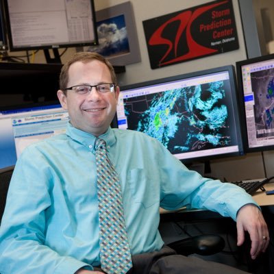
I (personally) wish we had been able to provide a lot more context and explain things more fully than through what we thought was an internal presentation. But that doesn’t mean anyone sharing did anything wrong.
Now back to my regularly scheduled lurking. :) 13/13
WxByte retweeted
As for those who have apologized for sharing this information today, don’t worry about it. I would have done the same or similar things if I had seen something shared on NOAA social media channels. SPC is not trying to be secretive about any of this. 12/
WxByte retweeted
SPC will always work to improve the quality and sophistication of the information we provide to the weather enterprise. It does not mean that all of it will reach the public in similar form or function. 11/
WxByte retweeted
We still have work to do on how, and to whom, we *communicate* that information. This is why we are still year or more away from implementing something. 10/
WxByte retweeted
What has been discussed today are ways we are internally working on those predictions. The presentation was designed to let science officers in the NWS know what we are working on and to begin soliciting internal feedback on the meteorology aspects of these predictions. 9/
WxByte retweeted
SPC is working on ways to predict days where the coverage of severe storms may be low (Slight) but the intensity of the storms that develop may be greater than what would normally be expected. 8/
WxByte retweeted
The truth is that *most* people, most of the time in a Slight Risk will not observe a severe thunderstorm. However, that does not mean for those who *do* experience them it won’t be bad. 7/
WxByte retweeted
However, the need for this type of information is there.
I regularly hear meteorologists complain about the term “Slight Risk”. The complaint is usually along the line of “People can die in Slight Risks”. 6/
WxByte retweeted
Which is why we have not made changes to our public products or even begun the process to do so. We do not know what, if any, of this stuff will look like in final form or public consumption form. 5/
WxByte retweeted
What I have seen shown was our current, internal methods of displaying this kind of information and some potential implications this new intensity information might have on our categories. However, what the final forms of those things will be is far from decided. 4/
WxByte retweeted
It is true that SPC is working on new ways to communicate the potential meteorological intensity of severe thunderstorms. I have discussed this publicly numerous times, including at NWA Annual Meeting in 2023 and on WeatherBrains. 3/
WxByte retweeted
They thought it was public because it was shared publicly on NOAA Social Media (or at least that is what I have heard). Needless to say, easy to see why they thought it was public!
The truth is that the information was not intended to be shared publicly. 2/
WxByte retweeted
The following should not be construed as anything close to resembling an official statement …
I have seen some posts from people apologizing for sharing what they thought was public information about future enhancements to SPC Forecasts 1/

WxByte retweeted

Now to focus on Today, not an easy slam dunk forecast. But plan of action is to follow that deeper moisture gradient as storms fire in an arc and become long-track sustained supercells from Sunset-11pm.
Using @WxByte SatSquatch PRO to follow real-time Satellite and Observation overlays!


WxByte retweeted

This has been my go to for “day of” satellite and observations. Updated and now FREE!

SatSquatch 2.0 is now live on both Android and iOS! The app itself is now free, as are all satellite layers. try it out and let us know what you think!
Android: play.google.com/store/apps/d…
iOS: apps.apple.com/us/app/satsqu…
