

Official account of the @LibraryCongress Geography & Map Division, the largest map library in the world. All Library accounts: https://xitter.cf/t.co/T907knoXYf
- Tweets5.9K
- Following86
- Followers33.7K
- Likes1.4K
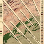




ALT Geologic map with six cross-section diagrams of geologic layers and legend information on the left and right sides of the page.

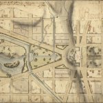
ALT Map of U.S. Capitol grounds and neighboring areas with street grid, lots, park space, and topographic hillshade prominently featured.

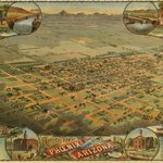
ALT Panoramic view of Arizona with pictorial buildings and trees illustrated within street grid of dirt streets. Along the periphery of the map are illustrations of local landmarks.

ALT early GIS map of Cancer Mortality in Nebraska

ALT Panoramic map of Pomona with buildings, orchards, and fields stretching to horizon of mountains. The view is surrounded by illustrations of landmark local buildings.

ALT Close-in view of homes on rectangular lots with trees and bushes neatly lined in orchards.

ALT Town buildings and fields stretching towards horizon of large mountains.


ALT Panoramic view of Los Angeles, surrounded by smaller scale view of towns along Southern California coast, and eleven small illustrations of local landmarks.

ALT Photograph of CDs and maps


ALT Map from the Bodega y Quadra collection, consisting of coastal chart with soundings and map description in Spanish.

ALT Screenshot of StoryMap application showing path of Bodega y Quadra Expedition and side-panel showing original map from expedition.

ALT Panoramic view of Yellowstone National Park with Yellowstone Lake at foreground and trails and mountains stretching up towards horizon line of blue sky.

ALT nautical chart from The Atlantic Neptune

ALT PLPS Fellowship details - apply by September 15, 2026

ALT A map view of the Fellesdistriktet border area condominium between Norway and Russia, with forested areas pictorially shown.

ALT Photograph shows a man on a dogsled in the foreground and a castle-shaped mountain of ice in the background, during the British Antarctic Expedition.

ALT hand-drawn map showing the Boston Harbor with soundings

ALT Map of Rio De Janeiro with parishes color-coded and prominent topography and buildings illustrated.

ALT Africa : to the committee and members of the British association discovering the interior parts of Africa this map is with their permission most respectfully inscribed. Aaron Arrowsmith, 1802. Geography and Map Division.

ALT Detail of [Portolan atlas of the Mediterranean Sea, western Europe, and the northwest coast of Africa], Joan Oliva, 1590, Geography and Map Division.

