I make maps and occasionally comment on stuff. Not a cartographer.
Joined June 2022
- Tweets1.6K
- Following28
- Followers16.2K
- Likes171


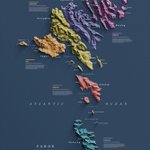



Here's the Faroe Islands with a little 'in your face' -style. It was fun to make this. Different colours mark the admin regions of the islands. Crispy!
#faroeislands #GIS #graphicdesign


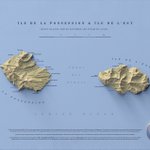
Île de la Possession and Île de l'Est, the eastern part of the Crozet Islands in French Southern and Antarctic Lands. 2 versions.
I'm assuming none of you have visited these islands, but if you have, tell about them by all means!
#france #geospatial #cartography


Quick Dolomiti Bellunesi National Park and surrounding area map. Because why not?
#geospatial #dolomites


Here's another fine map I'm throwing into the void, New Hampshire White Mountains 4000ers.
Elevation: USGS
Names: GNIS + OpenStreetMap
#newhampshire #mountains #cartography #geospatial


Map of Columbia River Gorge National Scenic Area in Washington and Oregon. It was fun to make, I hope it's fun to look at too.
#Washington #Oregon #map #digitalart


Mount Rainier and then some. How are the glaciers doing over there? I understand they've been shrinking heavily just like everywhere else, but how obvious is it when you look at it?
#MountRainier #Washington #Nationalpark


Behold! Rocky Mountain National Park and its environs. I'm a vintage guy and therefore I add noise and halftone texture and I like it.
#Colorado #rockymountains #geospatial #nationalpark


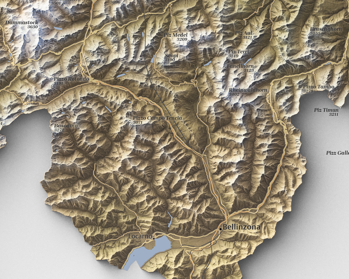
Here's a fancy map of Switzerland I made today. Just can't get enough Switzerland in my life.
#Switzerland #Alps