

Raised relief and other maps, mapy stare i nowe
Joined August 2009
- Tweets3.8K
- Following1.7K
- Followers151
- Likes9.1K



Zbigniew Ponicki retweeted

A masterpiece of precision and artistry: Guillaume Henri Dufour’s Topographische Karte der Schweiz (1833–1863). Created at an impressive 1:100,000 scale, this 25-sheet national map set a new standard for scientific cartography in the 19th century. Steel-engraved with extraordinary detail, it uses delicate hachures to sculpt the Alps in three dimensions—capturing Switzerland’s dramatic terrain with remarkable clarity. Centered on the Bern Observatory and produced during a period of rapid technological progress, the map supported military planning, infrastructure, and national unity.
See all sheets: davidrumsey.com/luna/servlet…


#30DayMapChallenge day 20 Water.
Bathymetric contours for Morskie Oko and Czarny Staw, derived from a 1984 Polish military topographic map. Contours were digitized and interpolated to produce depth surfaces.


Shaded relief map of Crete. Rising from -3400 metres south of the island in Libyan sea to Mt Ida's 2456 metres above sea level.


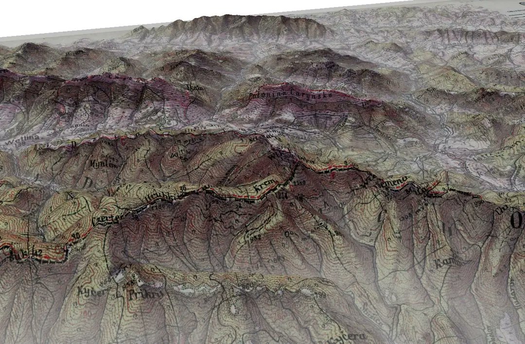
#30DayMapChallenge day 18 3d Tatra mountaoins Poland on a retro Chechoslovak map
#30daymapchallenge day 10 My hand drawn map of a fantasy land. Created when I was 10 or 11 years old, as part of a fantasy story.

#30DayMapChallenge day 7 vintage
1934 map of Neurode area in today's Poland, Germany at the time of the creation of the map. Notable is the area around Silberberg fortress build around 1770 by Prussian King Frederick the 2nd. The detail and precision of the map are unmatched.


