

Morning Wx -KOTV- fan of baseball & positive vorticity advection. Member-Seal Holder- AMS. Member NWA. SEOSU- MSU. Heartland Emmy Award winning composer.
Tulsa, OK
Joined April 2009
- Tweets20K
- Following14.2K
- Followers17K
- Likes3.7K


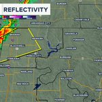

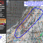


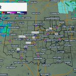


Severe storm warning for part of Kay & Grant counties. Movement NE at 40 mph. Quarter hail and winds near 60 mph possible.


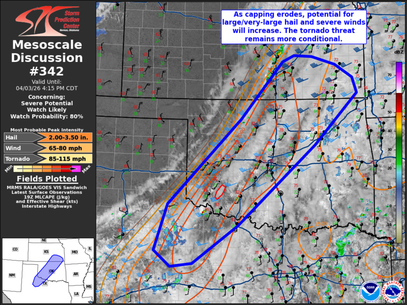
Severe thunderstorm warning for part of western Osage and part of Pawnee Co. Storms capable of 60 mph and hail, moving NE at 30 mph.

Radar 6:39pm Storms, some strong to severe, moving NE at 25 mph, entering part of Osage and Pawnee Co soon.

Tornado watch now up for the western half of the region until midnight. Additional watches are likely to be issued later as storms move more east.


8:42pm UPDATE: Tornado warning still in effect until 9:30pm.
We also have a Flash Flood warning in effect until 11:30pm tonight for southeastern Tulsa county and northwestern wagoner county.


8:00pm UPDATE: New Tornado warning has been issued until 8:45pm for southern Rogers county, southwestern Mayes county, and northwestern wagoner county. Take shelter NOW! We are streaming on all platforms as well.


6:57pm UPDATE: Tornado warning until 7:45pm moving NE at about 35mph. Take shelter right now if you are in the polygon.


Tornado on the ground. This tornado warning has been extended to include more counties. Take shelter NOW!


New Tornado Warning issued until 7:00pm for central creek County and northwestern Okfuskee county. There is also up to quarter sized hail possible. If you are in the polygon, I would start taking precaution right now.


FRI 6:06pm UPDATE: Tornado warning has been extended into Central Tulsa county and southeastern Osage county until 7:00pm. We are live on News On 6! Take precautions right now if you are in this area.


Tornado warning continues moving into Tulsa county. if you are in the path of this storm, take shelter immediately!


Tornado on the ground moving NE at about 30-35mph. If you are in this polygon, you need to be taking shelter right now! We are continuous on NewsOn6.


