

Art+Code, Infovis, SVG, Go Programming Language, Human Being
- Tweets5.2K
- Following2.5K
- Followers1.6K
- Likes2.8K





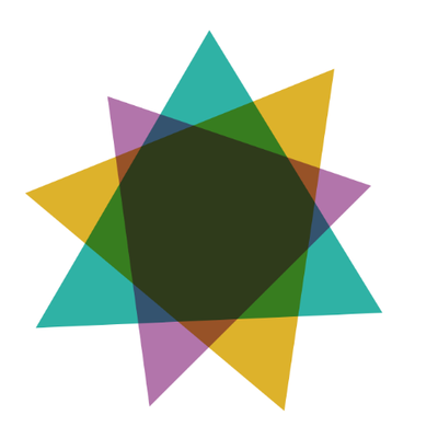
ALT Juneteenth Flag: Colors (Red, White, and Blue): The use of the same colors as the American flag was deliberate. It serves as a reminder that enslaved people and their descendants are Americans, and honors the day they were finally recognized as citizens under the law.The Center Star: The five-point star represents Texas (the "Lone Star State") where the holiday originated, as well as the freedom of enslaved people in all 50 states.The Starburst: The white outline/burst extending from the center star represents a "new star" being born—symbolizing a new beginning and a bright future for Black Americans.The Arc: The sweeping arc across the background represents a new horizon, opportunity, and hope for the future


ALT A portrait oriented visual (originally 22x28 inches) with a manila background with black text labeled in English and French: "PROPORTION OF NEGROES IN THE TOTAL POPULATION OF THE UNITED STATES." and "RAPPORT DES NÈGRE À LA POPULATION TOTALE DES ETATS UNIS." The visual shows four maps of the US labeled 1800 (one-fifth), 1830 (one-sixth), 1860 (one-seventh), and 1890 (one-eighth). Each map has a smaller black map (population of Black people) enclosed in a map outlined in red (overall population)


ALT A portrait oriented visual (originally 22x28 inches) with a manila background with black and gray text, titled "Land Owned by Negroes in Georgia, U.S.A 1870-1900." The visual is a map of the counties of Georgia, colored in red, green, blue, gray, brown, and yellow. Each county has a number depicting the Acres of land in each county.

ALT A portrait oriented visual (originally 22x28 inches) with a manila background with black, gray and red text, titled: "A Series of Statistical charts, illustrating the condition of the descendants of former African slaves now resident in the United States of America". The visual contains English (gray) and French text (red). In the middle of the visual is a pie chart showing the occupation of students of Atlanta University, color legends of the occupations in English and French. Above the pie chart is a map of the continental US.

ALT A portrait oriented visual (originally 22x28 inches) with a manila background with black, gray text, titled: "DISTRIBUTION OF NEGROES IN THE UNITED STATES." The subtitle in French "DISTRIBUTION DES NÈGRES DAN LES ETATS UNIS." The visual has a legend with five categories: less than 1 (yellow), 8-15 (brown), and 15-25 (black). These measures are labeled "Negroes to the Square Mile". Below the legend is a map of the US States colored according to the categories.


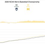
ALT Michigan 69, U Conn 63 the scorediff chart shows the scoring differential between the two teams


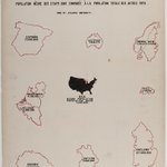
ALT A portrait oriented visual (originally 22x28 inches) with a manila background with black text labeled in English and French: "NEGRO POPULATION OF THE UNITED STATES COMPARED WITH THE TOTAL POPULATION OF OTHER COUNTRIES." and "POPULATION NÈGRE DES ETATS UNIS COMPAREÉ À LA POPULATION TOTALE DES AUTRES PAYS." The visual has a map of the US in the middle, labeled NEGRO POPULATION 7,500,000 surrounded clockwise by maps of AUSTRALIA (3,036,570), ESPAÑA (17,500,000), NEDERLANDEN (4,500,000), LA BELGIQUE (6,000,000), HONGRIE (17,500,000), BAYERN (5,800,000), ENGLAND (27,500,000) SUISSE (900,000), NORVÈGE (2,000,917), SUÈDE (4,774,409).

ALT A portrait oriented visual (originally 22x28 inches) with a manila background with black text labeled in English and French: "NEGRO POPULATION OF THE UNITED STATES COMPARED WITH THE TOTAL POPULATION OF OTHER COUNTRIES." and "POPULATION NÈGRE DES ETATS UNIS COMPAREÉ À LA POPULATION TOTALE DES AUTRES PAYS." The visual has a map of the US in the middle, labeled NEGRO POPULATION 7,500,000 surrounded clockwise by maps of AUSTRALIA (3,036,570), ESPAÑA (17,500,000), NEDERLANDEN (4,500,000), LA BELGIQUE (6,000,000), HONGRIE (17,500,000), BAYERN (5,800,000), ENGLAND (27,500,000) SUISSE (900,000), NORVÈGE (2,000,917), SUÈDE (4,774,409).

