

Official account for the UMass Lowell Weather Center and UML’s AMS student chapter. #UMLWxCtr
- Tweets16.4K
- Following853
- Followers1.5K
- Likes4K

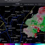

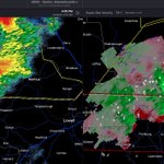


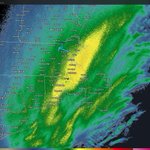


ALT This graphic displays a severe thunderstorm warning plotted on a map. The warning is in effect until 3:15 PM EDT. The warning includes Lowell MA, Lawrence MA and Methuen MA. This warning is for West central Essex County in northeastern Massachusetts, Northeastern Worcester County in central Massachusetts and Northeastern Middlesex County in northeastern Massachusetts. The threats associated with this warning are wind gusts up to 60 MPH and quarter sized hail. There are 762,238 people in the warning along with 208 schools and 11 hospitals.


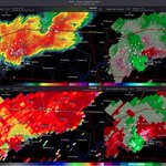
ALT This graphic displays a tornado warning plotted on a map. The warning is in effect until 9:15 AM EDT. The warning includes Lowell MA, Nabnasset MA and South Chelmsford MA. This warning is for North central Middlesex County in northeastern Massachusetts. The threats associated with this warning are a radar indicated tornado and pea sized hail. There are 182,362 people in the warning along with 45 schools and 3 hospitals.

ALT This graphic displays a tornado warning plotted on a map. The warning is in effect until 8:45 AM EDT. The warning includes Lowell MA, Littleton Common MA and Graniteville MA. This warning is for West Central Essex and Northeastern Middlesex Counties. The threats associated with this warning are a radar indicated tornado and pea sized hail. There are 262,817 people in the warning along with 69 schools and 3 hospitals.


ALT 2 college students pointing at a weather map.


ALT This graphic displays Severe Thunderstorm watch number 419 plotted on a map. The watch is in effect until 9:00 PM EDT. The watch includes parts of Connecticut, Massachusetts, New York, Pennsylvania and Rhode Island. The threats associated with this watch are no tornadoes expected, isolated hail up to ping pong size possible and scattered gusts up to 65 mph possible. There are 13,876,431 people in the watch along with 3972 schools and 249 hospitals.


