



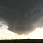
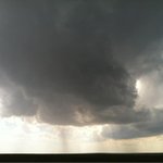


Storms now initiating south of Watonga along triple point. Dangerous day ahead for OK--stay weather savvy!


After 12 tornadoes in four days(yesterday was zero), headed home to change gears for lightning! Zzzapp! #sparky
Headed to SW of Dallas metroplex for powerful storms. HRRR is painting grim picture for surrounding area by mid-late afternoon--hope not..
Wow--tornado season has hit the plains with tornadoes every day since last Wed. Targeting Cu field between Ardmore and Lawton.
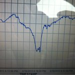
Ground zero at tornado genesis of Rozel tornado using MM. Perfect bisect of pre-tornado environment. -5mb drop rec.

Beautiful cone tornado at very close range near Rozel--had 3 chances to deploy, but roads were mud! Incredible day--PICs soon...
Isolated cell near Jetmore.. High base....but give it time. Show could be further south? Time will tell..

Will be on the road 8 AM with crew, mobile mesonet and probes. Big tornado forecast next few days in plains-be WX smart-have a safety plan!
Looks like several days of severe weather in the heartland starting this Saturday. Probably the best chance of tornadoes so far this year.
High speed imagery of a lightning strike I captured couple years ago..
m.youtube.com/watch?v=EyUsjs…
No tornadoes? No problem! Shooting high speed lightning images at 10,000 Frames per second! Enjoy all of mother nature...


