

@TasmapApp
Account based inJapan
About this account
- Account based in
- Japan
- Connected via
- Japan Android App
Account-level information from X, not a live location or the device used for a specific post.
Canva for Maps. Everyone can build good maps.
🗺 + 📝 + 🎨 =
Joined February 2020
- Tweets403
- Following31
- Followers734
- Likes1.4K






Pinned Tweet
Tasmap is the Canva of Maps. Our goal is to enable anyone, even without any engineering or design background, to create beautiful, professional maps.
Current map tools generally fall into two categories: very basic tools that just add descriptions to locations, and professional, complex GIS software. We are building the third kind: a tool that is simple to use but produces professional-grade results.
Tasmap is not just a map for marking locations; it is a vehicle. Your knowledge, the information, and insights - as long as it needs to be expressed through a map, Tasmap can do it, and do it better than anyone else. The core of Tasmap is "Map + Content + Design." Connect your content to locations, add the right design. That's it.
An even bigger difference is that Tasmap can also become an App. You no longer need to develop an app just for a map, because every map can function like a standalone app. Of course, you can also embed it directly into your website or Notion notes.
Tasmap is not an app like Google Maps used for navigation or searching for restaurants; it is a tool for building maps. We use OpenStreetMap as our map source, host our own map servers, and build on open-source software rather than the Google Maps SDK. Our revenue comes from the value of the tool itself, not from your (or your users') data. Therefore, you can have a map with no ads, no algorithms, no tracking, and no privacy collection. Just like what you and your users deserved in the first place.
Yes, you should have been able to simply build a professional map by yourself, just like slides, documents, designs, spreadsheets, notes, or even websites. Tasmap fills in that missing piece - maps.
Tasmap is a simple, powerful map tool that enables you to build a polished, professional map.
tasmap.app

🌻 This monthly update is a bit late because there was just so much to cover. Take a look at what changed!
tasmap.app/blog/simple-and-p…


😃 Some user experience improvements:
1. You no longer need to select the Focus Area before creating a map. A city will be randomly chosen as the starting point.
2. Once inside the editor, you can use the Focus Area button to navigate directly to the area where you want to create your map.
3. The generation of default assets (such as map preview and icons) has been moved to occur after entering the editor, resulting in faster load times.
Enjoy!


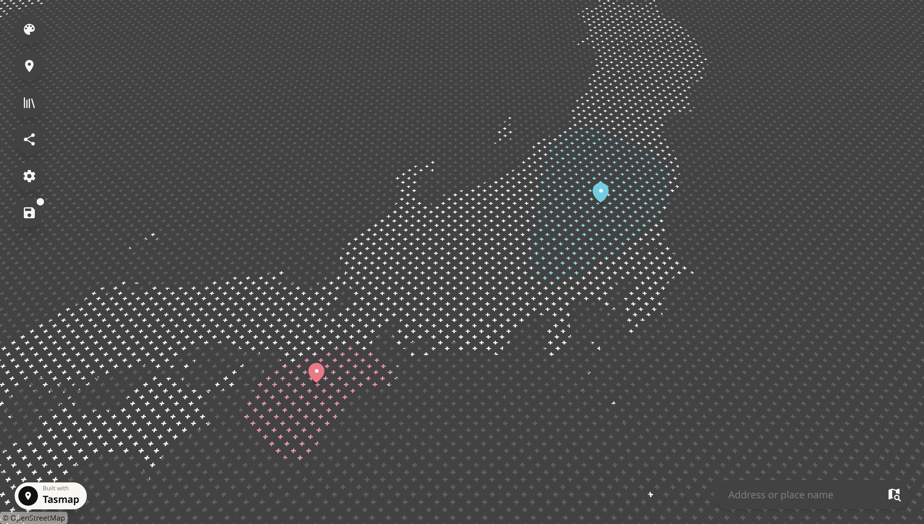
Monochrome Map, with Colorful Elements. Yes, you can build this kind of map with Tasmap, within 10 mins.


🌟 Improvements about Data
1. Added an Assets management page. You can now clear out images and media files that are no longer used on the map.
2. Added AI auto-select for data import. The AI will look at your data and pre-select fields like address, place name, title, and content for you.
Enjoy!

⭐️ Some improvements and thoughts on AI
We've improved the "Start with AI" entry point and its output. You can now choose the model's reasoning level, whether to search the web for real-time information, and the number of locations to specify. The output is also more flexible now, and it includes web and media sources when available. You can choose to quickly generate a simple draft, or spend more time generating a map with more information. Also, Start with AI now generates complete map cards.
🗿 Some thoughts on AI:
So far, we have taken a fairly practical approach to AI. The purpose of the AI entry point is to generate a starting point you can edit, not to produce a perfect map with one click.
We plan to break AI features apart and spread them into the editor as small buttons, not chat boxes, to help you quickly get through repetitive, meaningless work, so people can focus on what people are for: thinking, insight, and decisions.
As for AI agents: yes, they will eventually show up, but not yet. We believe a good AI agent is built on a good product, and many good products have already proven this. A complete product with a good user experience usually comes with good AI. The reverse just automates chaos into bigger problems.
The technology behind AI agents is already quite mature. What matters is whether the product the agent controls is actually good. So we choose to polish the product first and help you get your work done better, rather than rushing to add a half baked AI agent just for cool demo.
🌟 A major update to Map Elements!
In this update, we’ve rebuilt map elements from the ground up:
1. A complete migration from Konva.js to MapLibre GL. All map elements now render in MapLibre using WebGL2, bringing a new level of performance and keeping elements seamlessly in sync with the map as you interact with it.
2. Area support is here. As Tasmap grows to support more professional use cases, areas are an essential addition. We’ll continue expanding their capabilities with textures, overlaps, complex polygons, and more.
3. Location, Path, and Area tools, brought together. We’ve unified the three map element tools and redesigned the editing panel to make adding and editing elements simpler and more consistent.
A little backstory: Around six years ago, when we built the first version of Tasmap, MapLibre had just launched, and many of its capabilities were still maturing. We chose Konva.js to build our own map element layer. It gave us a great development experience, extensive customization, and visual flexibility, but it also came with performance and integration limits. With this migration complete, we now have a solid foundation for data imports, terrain, and advanced visual features.
Step by step, we’ll keep making Tasmap more capable and refined while keeping it simple to use. If you have any ideas or feedback, join the conversation on our Discord: discord.com/invite/SpZ8Rynm8…
✨ Some Good Improvements:
1. Fixed an issue that made map elements less responsive to taps on some touch devices.
2. Fixed excessive map camera movement when scrolling quickly through an article.
3. Redesigned the data import interface with clearer guidance, better feedback, and a consistent look and feel across the app. This lays the groundwork for expanding our data features.
4. Redesigned the settings interface to match the rest of the app.
5. Improved map element rendering by moving from our custom Konva.js renderer to MapLibre’s WebGL rendering. This lays the groundwork for large-scale data imports and terrain support. We’re excited about this progress and will share more in a separate update.
Any feedback or idea? Feel free to join our Discord: discord.com/invite/SpZ8Rynm8…