Official X account of the New Jersey Office of Emergency Management, NJ Task Force One (NJ-TF1), & NJ All-Hazards Incident Management Team #ReadyNJ

West Trenton, NJ
Joined February 2009
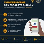
Thunderstorms can escalate quickly
1
3
1,205
NJOEM🇺🇸 retweeted
A line of showers and thunderstorms is moving into the area with some being severe. Please submit any reports of severe weather by replying to this post. Please include your location and time of report. Only submit reports when it is safe to do so! #NJwx #PAwx #MDwx #DEwx
5
11
46
7,204
NJOEM🇺🇸 retweeted
A severe thunderstorm watch has been issued for parts of Connecticut, Delaware, Maryland, New Jersey and New York until 10 PM EDT
3
39
6
95
9,878
Stay weather-aware today Forecasts can change quickly, so keep checking updates and make sure you can receive watches and warnings
We've got a bit of a wild weather ride ahead of us, with much warmer air moving in by this afternoon, a stormy evening, then windy and colder weather with a chance of frost in much of the area by tomorrow night.
3
1
1,505
NJOHSP proudly joined our partners in the New Jersey Standardized Active Violent Event Response (NJ SAVER) Working Group, under the Domestic Security Preparedness Task Force, to host the inaugural NJ SAVER Summit at Middlesex College. The summit brought together 130 attendees from law enforcement, fire service, emergency medical services, emergency management, and public safety communications to advance a first-in-the-nation initiative strengthening how New Jersey prepares for and responds to active violent events. Director Hauck opened the summit alongside @NJSP Acting Superintendent Jeanne Hengemuhle, @NJDeptofHealth Commissioner Raynard Washington, and @NJFireSafety Director and State Fire Marshal Wayne Wolk. Thank you to our partners for improving coordination across agencies and helping save lives.
3
3
1,312
Today, a full sounding test of the siren system for the Salem & Hope Creek Nuclear Generating Stations will be performed at approximately 10:45 AM Tues, Oct 6, 2026. There is no emergency at the plant & no actions by the public are required.
1
1
5
2,256
ICYMI: Leadership Behind the Mission Deputy Superintendent Lieutenant Colonel David Sierotowicz, Incident Commander for public safety for the 2026 FIFA World Cup NYNJ breaks down the extensive planning and interagency coordination to execution on match days.
1
1
2,214
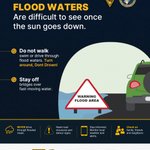
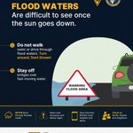
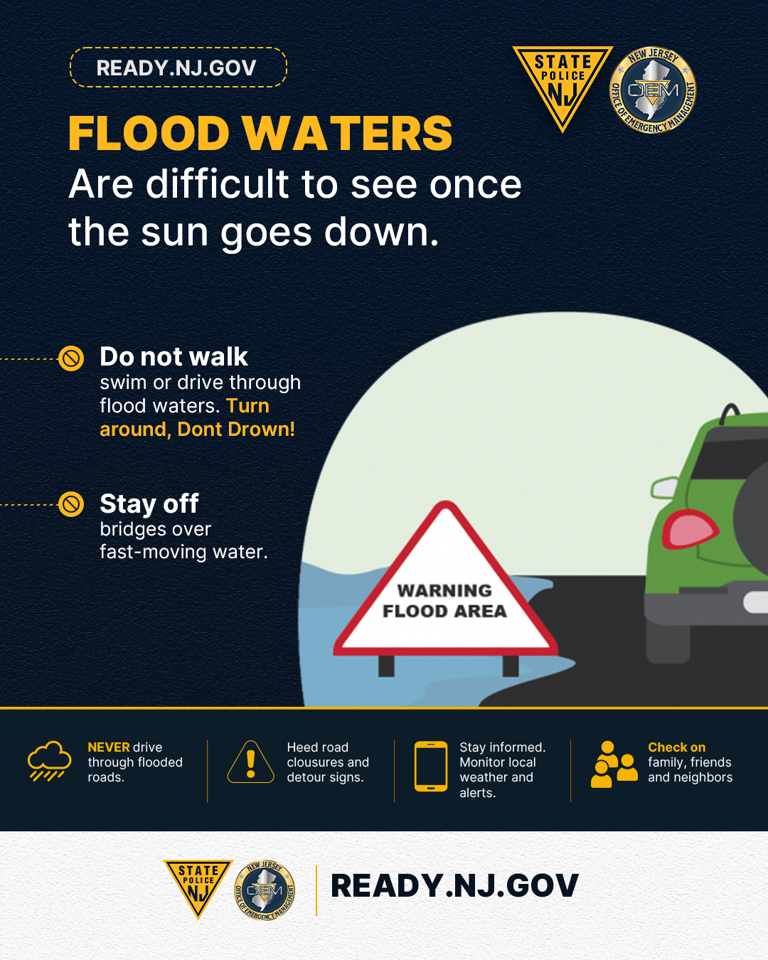
Floodwaters can be difficult to see after dark. Never walk, swim, or drive through floodwaters. Follow road closures, monitor weather and alerts, and check on others. Turn around, don’t drown. Stay informed. Stay prepared. Stay safe.
3
5
2,597
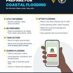
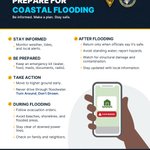
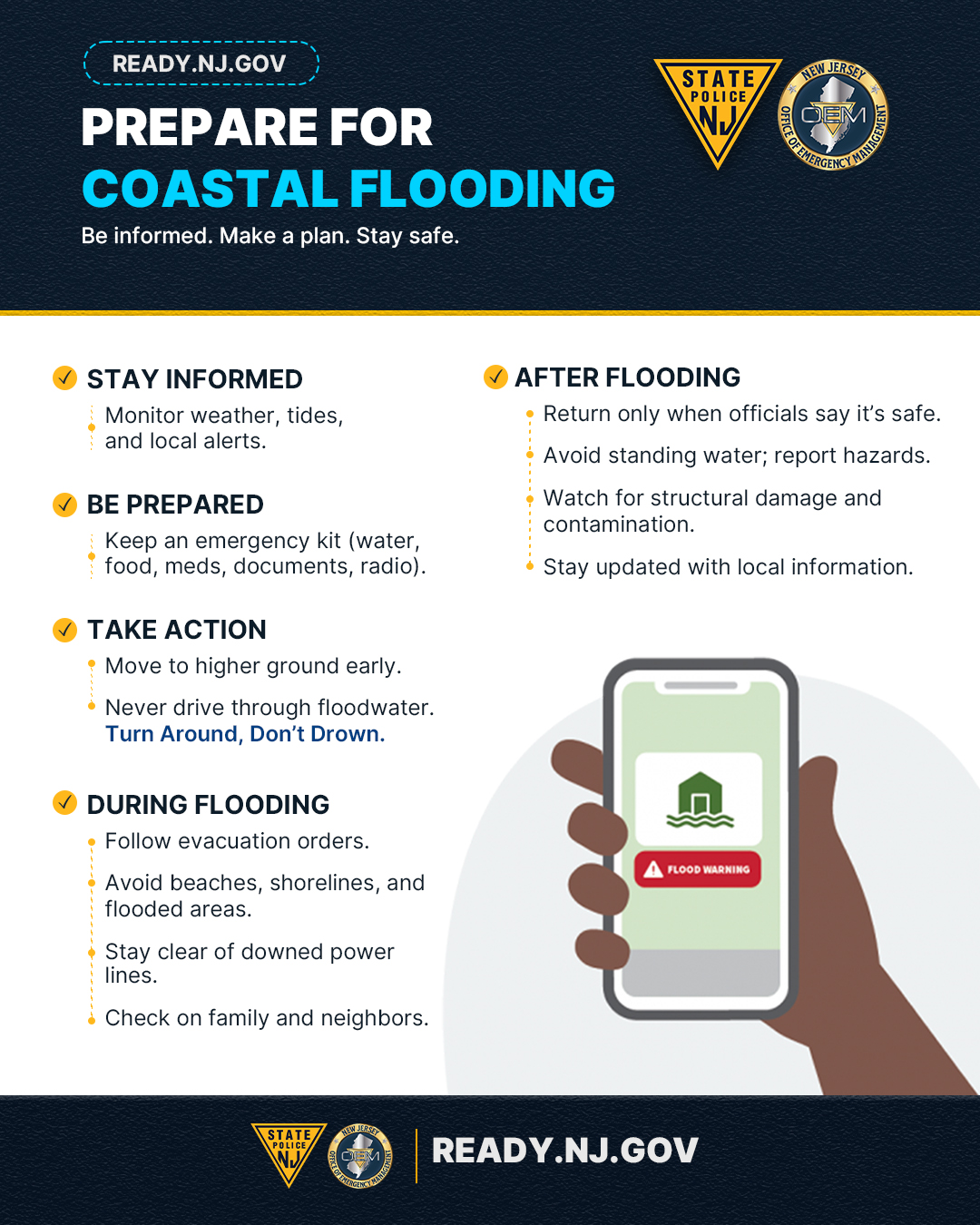
Coastal flooding can happen quickly, especially during high tides and periods of heavy rain or strong winds. Stay informed, avoid flooded roadways, and never drive through floodwater.
2
4
2,098
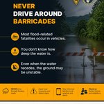
When a road is closed, there is a reason Never drive around barricades or through flooded roads. Floodwater can be deeper and more dangerous than it appears. Follow closures and detours, monitor alerts and take a safer route. Visit READY.NJ.GOV for more information
5
8
2,561
Floodwaters can be difficult to see after dark. Never walk, swim, or drive through floodwaters. Follow road closures, monitor weather and alerts, and check on others. Turn around, don’t drown. Stay informed. Stay prepared. Stay safe.
2
4
2,228
Coastal flooding can happen quickly, especially during high tides and periods of heavy rain or strong winds. Stay informed, avoid flooded roadways, and never drive through floodwater.
8
7
4,672
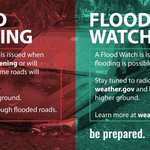
Know the difference: A Flood Watch means flooding is possible. Stay informed and be prepared to act. A Flood Warning means flooding is happening or expected soon. Follow local orders and move to higher ground if needed. Stay informed. Stay prepared. Stay safe.
1
9
2,730
Floodwaters can be difficult to see after dark. Never walk, swim, or drive through floodwaters. Follow road closures, monitor weather and alerts, and check on others. Turn around, don’t drown. Stay informed. Stay prepared. Stay safe.
4
2,498
In preparation for the Nor’easter, I’m declaring a State of Emergency for Atlantic, Burlington, Cape May, Cumberland, Middlesex, Monmouth, Ocean, and Salem counties – effective at 5:00 PM today. Starting tonight, the storm is expected to bring strong winds, heavy rain, and significant coastal flooding, with these eight counties facing the greatest risk. I urge all New Jerseyans to take this storm seriously, stay alert, and follow local guidance. We’re prepared and will keep you updated as conditions develop.
116
96
13
356
49,134
A strong nor’easter is expected this weekend. Gusty winds may produce isolated tree damage and power outages from tonight through Saturday night, with coastal flooding possible near peak high tides Saturday. Remain weather-aware, as forecasts can change quickly.
⚠️🌬️🌊 A strong nor'easter will impact the region through this weekend. Strong winds may lead to tree damage and isolated power outages (tonight-Sat night). Coastal flooding is forecast to peak during the Saturday morning and/or evening high tide. (1/2) #PAwx #NJwx #DEwx #MDwx
1
1
4
9,759
NJOEM🇺🇸 retweeted
The briefing package was updated to address ongoing coastal and marine hazards with the offshore Nor'easter. #NJwx #DEwx #PAwx #MDwx weather.gov/media/phi/curren…
16
63
12,119
NJOEM🇺🇸 retweeted
Good afternoon! Our latest briefing on ongoing coastal and marine hazards can be found here: weather.gov/media/phi/curren… #PAWX #NJWX #MDWX #DEWX
1
16
3
59
21,678
NJOEM🇺🇸 retweeted
⚠️🌊🌬️ Coastal Flood Warnings & Advisories are in effect for most of our tidal areas through Thursday night or Friday to highlight the widespread minor to moderate tidal flooding expected at high tides. Northeast winds gusting up to 50 mph along the coast through Thursday. (1/2)
2
38
2
134
22,653
NJOEM🇺🇸 retweeted
How can you do your part in making the nation more resilient? Build or gain new skills, like first aid and CPR, to protect yourself, family, friends, and your community. Get involved and learn more: ready.gov/stand-ready.
15
13
3,479