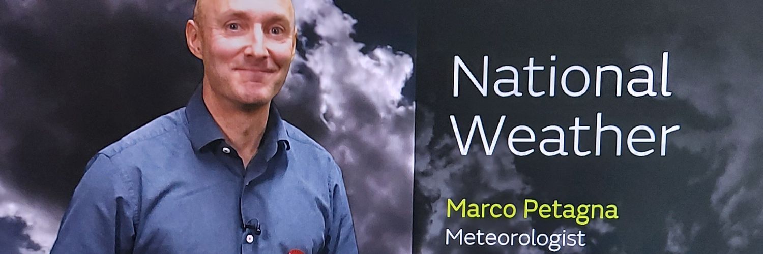

BSc MSc Media Advisor & Senior Operational Meteorologist UK Met Office Parent to 2 mini daxies Love running Views & opinions my own @Petagna on BlueSky
Joined October 2012
- Tweets40.1K
- Following1.3K
- Followers14.8K
- Likes48.9K





Pinned Tweet
To all other weather accounts out there..never feel afraid to post on twitter through fear of receiving harsh, often unjustified comments. If you've got the evidence to support your point your views and opinions are as important and relevant as any one elses 👍
🌞❄🌦🌈🌡🌩🌨☁️


Batten down the battens on the hatches
(😉)
End of the week likely to be the windiest we've seen for a while
🌬

Marco Petagna retweeted

Stevenson Screen low of -5.1°C this morning in Tomintoul.
That makes it the lowest temperature across the UK since May 9th and also the coldest October temperature since 2019.


After the extreme flooding event in Valencia in October 2024 caused by an upper atmospheric low pressure system, @AEMET_Esp started naming these 'DANA's
Recently named Dana 'Adam' is set to bring some heavy rain and thunderstorms to SE Spain and S France from Saturday
As I've been suggesting in recent weeks, and as might be expected given El Nino and it's teleconnections now we're moving towards 2nd half of Autumn, just starting to see some interesting weather model output for next week and beyond
Something to keep 👀 on for potential 🌬🌧
High pressure and clearer skies incoming from the west
A fine but cool weekend for many
Showers in the SE though


This weekend's combined surface pressure/upper atmospheric height chart proving that looking at surface level features alone can be misleading
High pressure looks dominant across the UK, but the green blob in the SE signals an upper atmospheric disturbance/chance of showers here


Severe drought status has been declared for parts of Cornwall, Devon, Dorset, Somerset, East Sussex and West Sussex
Reservoir, river and groundwater levels are struggling
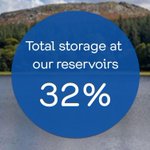
In SW England total reservoir water storage is at 32%, and just 15% at Wimbleball
southwestwater.co.uk/environ…


A very deep low pressure system sits to the NW of the UK today

@Petagna @SqRaindrop @Mark__Bowe @ChrisPage90 @KWTWeather @BlackCountryWX @HIOWweather1 Particularly impressive eye and eyewall of the storm formerly known as Hurricane Isaias, 1000 UTC. EUMETSAT.

In the space of 72hrs a very deep NE Atlantic low pressure system 933hpa 12z Weds gives way to a very intense high 1041hpa 12z Saturday


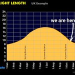
We're almost 2/3rds of the way between the summer and winter solstice.. aka longest/shortest days of the year
Yet parts of the UK continue to be bathed in summer-like weather with temperatures nudging into the low 20s C

Remnants of what was once hurricane Isaias engaging with an active N Atlantic jet stream left exit region and rapidly deepening to the NW of the UK next 24hrs
A windy day for the UK tomorrow with 70mph gusts expected NW Scotland


Giuseppe, sometimes you need #Petagnascope to get the masses to truly understand, so here you go - your system IN MOTION for the past 8 hours up until 1410 UTC. EUMETSAT. Let not a storm pass the Western Irish coast without Marco the @petagna knowing...(or us).


1st weather warning for a while
50-70 mph wind gusts tomorrow
#weatheraware
metoffice.gov.uk

The N Atlantic is going through a period of heightened activity
Whilst remaining to the NW of the UK a rapidly deepening low pressure sweeps by..central pressure drops 44hpa in 24hrs (981-937hpa)
Creates a 94hpa pressure differential about us (937hpa to our NW, 1031 to our SE)


The latest cohort of trainees to enter the Met Office become the first to follow a program devised in partnership with the University of Plymouth...
metoffice.gov.uk/blog/2026/n…
