

PIX11's Weather Center. Download our app. Get up-to-the-second alerts, long-term forecasts, past and “future” radar, webcasts and much more.
New York Metropolitan Area
Joined December 2009
- Tweets16.7K
- Following390
- Followers6.4K
- Likes539
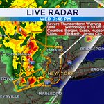
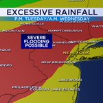

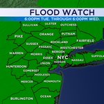


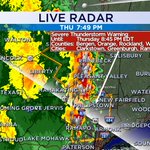
An intense of line of severe thunderstorms are making their way toward the city. They may contain gusts of 70 mph and penny-sized hail along with torrential downpours. It is not wise to be outdoors in the city when these storms arrive. @PIX11News


Damaging winds are possible especially in coastal areas tomorrow night. Be sure to secure all loose outdoor objects.


Most rivers in our region have started to back down. Only parts of the Passaic River has not started to crest yet. Major flooding persists for a number of communities until later this week. @PIX11News

The rain is tapering off, but the damage is done. Numerous Flood Warnings have been issued with a few rivers dealing with major flooding. Also we are at high tide now with flooding being reported across coastal sections. @PIX11News


Friday is going to feature another storm system bringing in potentially a lot more rain for the region. The city may easily 2 inches or more, with some areas potentially getting as much 5 inches of rain. The flood threat has been elevated as a result. @PIX11News

It is going to be rough end to the week. A storm system is expected to bring copious amounts of rain on top of what we've had earlier this week. Flooding risk is at a level 3 out of 4. @PIX11News

Severe Thunderstorms are moving across the city at this hour. Damaging winds and large hail are possible. @PIX11News

Severe Thunderstorms are rolling across the Hudson Valley this evening. There storms are capable of producing gusts of 60 mph and a lot of lightning. @PIX11News

Tornado Warning issued for Western Ocean County until 3:30pm. Seek shelter immediately. @PIX11News

A very nasty line of storms moving through Central Jersey is capable of producing 60 mph winds, frequent lightning, torrential downpours. @PIX11News

A Severe T-storm Warning has been issued for Orange County until 9:15pm. Watch out for damaging winds and large hail, along with frequent lightning. @PIX11News

A Severe T-storm Warning has been issued for Sullivan County until 845pm. 60 mph gusts and large hail are possible. @PIX11News

PIX11 Weather retweeted

Major storm damage in Bensonhurst on Bay Ridge Pkwy. @PIX11News
PIX11 Weather retweeted
More storm damage in Bensonhurst. This is a block down at Bay Ridge Pkwy and 19th Ave. @PIX11News
Severe T-storm Warning issued for the entire city now until 4:15pm. Best to head indoors now, if you are out and about. @PIX11News

PIX11 Weather retweeted

@PIXweather really dark thundering in East Orange now
Intense thunderstorms approaching thunderstorms will contain torrential downpours and a lot of lightning. @PIX11News

Severe T-storm Warning has been issued for Newark and parts of the city until 3:30pm. Damaging winds, some hail and a LOT of lightning is expected with the approaching storms. @PIX11News
