

Associate Professor of Meteorology at Purdue University. Husband, father, and storm chaser. Nondenominational Christian. Insufferable centrist. Opinions my own.
West Lafayette, IN
Joined February 2012
- Tweets7.5K
- Following655
- Followers1.3K
- Likes15.7K




It’s that new top secret drone program code-named “Constellation Orion”. Subscribe to my newsletter for more!


Daniel T. Dawson II retweeted

Quick reminder that the term "bomb cyclone" is not a new term, nor was it invented by the media - it's been in use since at least 1980 and used in academic literature to talk about storms that develop extremely rapidly:
journals.ametsoc.org/view/jo…



Great job @storm_spotter_K !

. @storm_spotter_K of @PurdueEAPS presents her talk at #31SLS on the sensitivity of severe storm mode to environments on the large-scale and their initiation morphologies.

Nice viewing of the comet from the foothills west of Boulder tonight! A few unedited shots from my Canon 6D. Exposures range from 4-8 s with ISO 3200-6400 and a variety of focal lengths. Antitail clearly visible! Hope to do some better editing and stacking when I get a chance!


Daniel T. Dawson II retweeted
One other point about Milton - at *no* point was it forecast or expected to make landfall as a category 5 hurricane in Florida.
Even when it *was* a category 5 hurricane near the Yucatan, its peak wind speeds were expected to decrease due to wind shear from a nearby trough.


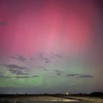
Made it back to Boulder before my son turned into a pumpkin, and was greeted by this resurgent display:


A glimpse at the watchfloor at @NHC_Atlantic at landfall. #Milton may be ashore, but @NWS forecasters are still tirelessly at their posts with a long night of hurricane impacts still to go across Florida.


Daniel T. Dawson II retweeted

830pm EDT Oct 9th: Doppler radar data indicates that the eye of #Hurricane #Milton has made landfall near Siesta Key in Sarasota County on the west coast of Florida.
Max sustained winds at landfall are estimated at 120 mph.
Landfall TCU: nhc.noaa.gov/text/refresh/MI…


Daniel T. Dawson II retweeted

Hurricane models have advertised an area of strong winds developing on the backside of #Milton (likely due to interaction with the jet) and I think we might be seeing evidence of that on the Tampa radar now. Watch to see if this picks up in recon and radar data this evening. – at Homestead, FL
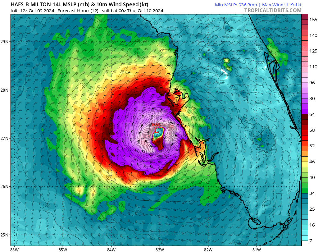

When you see it, you can't unsee it. #NightmareFuel


Daniel T. Dawson II retweeted

1-minute #GOESEast Infrared images showed Hurricane #Milton as it remained at Category 5 intensity during the past 5 hours. GLM-detected #lightning activity persisted within the inner eyewall of Milton.