

Professional Land and Industrial surveyor Specialist provider of 3D laser scanning, UAV Drone mapping and 3D meshes/ modelling for Reverse engineering.
Johannesburg
Joined September 2013
- Tweets43
- Following11
- Followers110
- Likes0


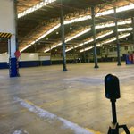

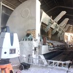


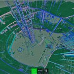


Using Point cloud as visualization tool for Zoom meetings 5dgeo.xyz/blog/using-point-c…
Good introductory article for 7 examples of using Geospatial ( survey ) data as foundation for good Digital Twin projects.
5dgeo.xyz/blog/introduction-…
Great example of efficiency of using UAV ( drone) mapping to quickly understand existing infrastructure and site conditions. #3DModel #dronemapping

Successful #drone (#UAV) mapping project 3000 images combined to make detailed #pointcloud and 3Dmesh of processing plant

Doing historical building #3dscan. When completed in 1897 it was the tallest building in Johannesburg. Really illustrates how powerful #laserscanning is

Successful #drone (#UAV) mapping project 3000 images combined to make detailed #pointcloud and 3Dmesh of processing plant
Great article by Propeller, offering in site in how UAV ( drone ) data can make earth works projects a success - propelleraero.com/blog/how-d…
Testing our new BLK scanner. What a fantastic tool for #3dscanning and #pointcloud gathering. BIM and #Revit just got so much easier

Great example of what Lieca BLK scanner is best at - Set of offices needing revit model for redesign #3dscan


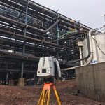
folks ask if we can measure pipe position in a plant - this is the sort of task we do with 3D laser scanning and Bim

3
Great article The Need to Integrate BIM and Geoinformation - bit.ly/2ekFmLI via @gim_intl

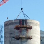
is 80 tons of steel going to fit into the slots on top of the concrete silo that we marked out-silo is 12 storeys up


