

Morning Meteorologist KRON 4 🌉
San Francisco, CA
Joined January 2011
- Tweets7.2K
- Following570
- Followers1.5K
- Likes7.7K





Pinned Tweet
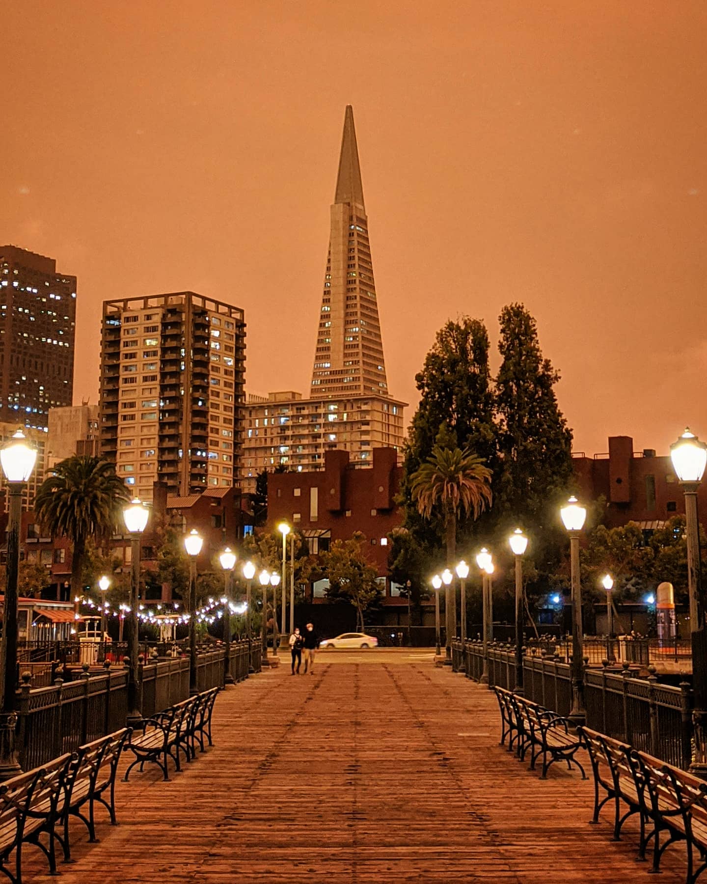
An apocalyptic downtown San Francisco, all pics around 11AM. Wildfire smoke refracting light so that what we see is this red/orange hue. Truly eerie feeling today and a reminder of how much of the state is in the midst of devastating fire. #smoke #CaliforniaFires – at San Francisco, CA



Tornado threat has passed for San Francisco and things should continue to calm down for the city. South Bay, East Bay and North Bay still have heavy rainfall with potential for downpours and flooding over the next hour or two especially. #tornado


This strong cell is moving Northeast at 45 mph now past San Francisco. Rotation was detected from cell as well as heavy downpours. Expect uptick in rainfall very soon in East Bay. #tornado

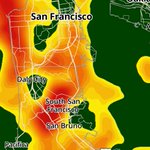
Radar view of the cell capable of producing the tornado. Take cover in Northern San Mateo County and San Francisco. #tornado

John Shrable retweeted
Tornado Warning including San Francisco CA, Daly City CA and Broadmoor CA until 6:15 AM PST

ALT This graphic displays a tornado warning plotted on a map. The warning is in effect until 6:15 AM PST. The warning includes San Francisco CA, Daly City CA and Broadmoor CA. This warning is for Northwestern San Mateo County in northern California and San Francisco County in northern California. The threats associated with this warning are a radar indicated tornado and pea sized hail. There are 1,038,976 person in the warning along with 156 schools and 16 hospitals.
ALERT: A tornado warning has just been issued concerning a strong thunderstorm moving across Northwestern San Mateo County (Daly City) moving Northeast towards San Francisco. This strong cell is absolutely capable of producing a tornado. If you are in the area seek cover now.


Haha, I’ll take this interpretation of whatever it was I was talking about 😅🏳️🌈

@JohnShrable here's John in action describing how the pink triangle makes gay pride #weather sunny every year for us

This isn’t Tahoe, this is right now on top of Mt Tam. April snow right here in the Bay Area! @kron4news


John Shrable retweeted

❄️ We have received up to 18" at the base and 24" on the upper mountain. This makes our storm total over 8 feet! High winds and snow safety delays are expected. Please be advised that scheduled lifts are subject to change.
#palisadesops
John Shrable retweeted

Highway 50 reopened at 8:52 am and traffic is moving (slowly) in both directions. Chain controls remain in place.

Snowslide on US50 at Echo Summit and road is going to close. No other updates except initial report that vehicles are involved - stay tuned. With SR88 and I80 closed, there is no westward road out of #LakeTahoe open at moment. @CHPSouthLake @CaltransDist3 southtahoenow.com/story/03/0…

John Shrable retweeted

Another 31" of snow has fallen in the past 24 hours! That brings the 3-day storm total to an even 6 FEET so far, with one more day to go! Our mountain operations crews have been working hard to reopen and we're now looking at a 12pm opening.
Read more:
bit.ly/49rHwjv


John Shrable retweeted
Current conditions at the KT terminal of the Base to Base Gondola. Thank you for your patience throughout the storm.
#palisadesops
John Shrable retweeted

A high surf advisory impacts the Bay Area coast Friday as conditions in the Sierra deteriorated overnight, causing a "traffic mess." LATEST: trib.al/cFIGUZI

John Shrable retweeted

Severe whiteout conditions on I-80 near Donner Pass.
Expecting the highway to close shortly. #CAwx
John Shrable retweeted
San Francisco Bay Area Forecast for today trib.al/zb3V0HD
John Shrable retweeted
Due to intense snowfall, winds over 100mph and low visibility, both Palisades and Alpine will be closed today.
Thank you.
John Shrable retweeted
FLASH FLOOD WARNING ⚠ A flash flood warning is in effect for San Francisco until 4 p.m., weather officials announce. Avoid driving through flood waters. trib.al/bJA46ZM