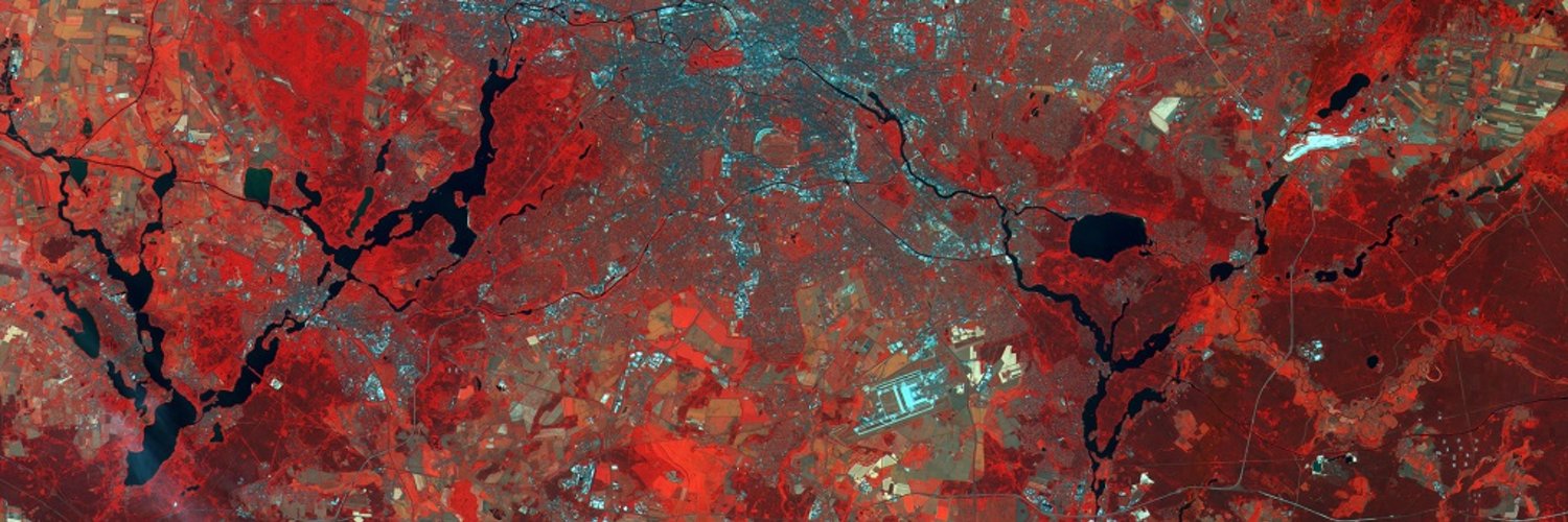

Geoinformation, Remote sensing, Maps 🌎🛰️, IT , sometimes other stuff / @unipotsdam
Potsdam
Joined May 2009
- Tweets3.4K
- Following1K
- Followers937
- Likes3.6K








Vom Atlas zum Algorithmus: Die Macht der Karten und ein vergessenes Können | heise online
heise.de/-9962349

1
62
Harald Schernthanner retweeted
🚀🌍 Need free remote sensing data? We've compiled top sources like GLOVIS and @NASA Earth Data in one place!
Here's where to get satellite imagery and datasets at no cost: geoawesome.com/eo-hub/list-o…
YT video: youtu.be/LsHmynQNaac
#FreeData #Satellites #Geoawesome
Harald Schernthanner retweeted

🌍 Transforming urban planning in Nyeri, Kenya with the power of OpenStreetMap and Google Earth Engine! Discover how this cutting-edge approach is reshaping our understanding of urban growth, infrastructure, and service accessibility. #GIS #SmartCities #UrbanPlanning #OSM


Harald Schernthanner retweeted

GDAL Released: v3.9.2 geoobserver.de/2024/08/19/gd… via @GdalOrg @EvenRouault #gdal #ogr #qgis #switch2qgis #fossgis #foss4g #opensource #gistribe #gischat #spatial #geospatial #gis #geo #geoObserver pls RT

OpenStreetMap: 20 Jahre offene Alternative zu Google, Apple und Co. | heise online
heise.de/-9829308


Harald Schernthanner retweeted

We celebrate our 18th anniversary today.
On 4th February 2006 the Open Source Geospatial Foundation @OSGeo was founded.
Read the blog post from one of our founding member @MarkusNeteler & celebrate with us!
neteler.org/blog/celebrating…
#foss4g #fossgis #osgeo #opensource

@berlinairport Wann wird ein Notfallflugplan veröffentlicht. Es geht konkret um den Flug BRU-BER (SN 2591) mit geplanter Ankunft um 22:20 Uhr. Findet der Flug statt? Bitte um rasche Antwort, damit wir umbuchen können. Danke
1
102

Harald Schernthanner retweeted

#Copernicus para el monitoreo de incendios
#Colombia 🇨🇴 se encuentra en alerta por las altas temperaturas y los múltiples incendios🔥 que asolan en el país
Uno de nuestros satélites #Sentinel2 🇪🇺🛰️ capturó, el 23 de enero, esta imagen de los incendios cerca de Bucaramanga

Harald Schernthanner retweeted
#DYK?
Using #OpenData from our #CopernicusAtmosphere 🇪🇺🛰️ Monitoring Service, you can track the path of the #SaharanDust plume 😷 currently moving across the Atlantic Ocean
Check it out 👉 atmosphere.copernicus.eu/glo…
Harald Schernthanner retweeted

This year's transfer prize is awarded to Gerold Zeilinger by Potsdam Transfer and @gmbh_up, for his project oKat-SIM which stands for optimized disaster management by means of simulation. uni-potsdam.de/en/geo/instit… /mht #geology #hazard

Wow, frightening

#gnssNews #Jamming Baltic GPS. It's the first time circle spoofing is reported in aviation, and not only with ships. gpsworld.com/from-russia-wit…

25
Some interesting ideas on turning smartphones into GNSS networks: mapscaping.com/podcast/gps-r…
35
Harald Schernthanner retweeted

Zeit, Farbe zu zeigen! - Bündnis "Potsdam! bekennt Farbe" ruft zur Demo auf: Sonntag, 14. Januar 2024 | 13 Uhr auf dem Alten Markt | an der Nikolaikirche. - Für Demokratie, gegen Fremdenfeindlichkeit! @unipotsdam ist als Teil des Bündnisses dabei. Wer noch?
#potsdambekenntfarbe

ALT Die Uni Potsdam ist bunt. Bild: AdobeStock/Simon
Ansible ist auch eines meiner liebsten Admin-Werkzeuge: c’t uplink - der IT-Podcast aus Nerdistan:
c’t uplink - der IT-Podcast aus Nerdistan: Infrastructure as Code mit Ansible | c’t uplink
Webseite der Episode: ct-uplink.podigee.io/527-inf…
Mediendatei: audio.podigee-cdn.net/132959…

38
Dank Satellitenbildern und KI: Bislang unbekannte Fischereiflotten entdeckt | heise online
heise.de/-9587935

56
Harald Schernthanner retweeted

OpenStreetMap through the ages, a thread. The original Windows 95 app:

Harald Schernthanner retweeted
Free! Freie Bücher zur Räumlichen Analyse / Free! Free books on spatial analysis via @LinksGeo geoobserver.wordpress.com/20… #gistribe #gischat #fossgis #foss4g #OSGeo #spatial #geospatial #open #gis #geo #geoObserver pls RT