

The official FEMA spokesperson account. Providing updates to the American people before, during, and after disasters.
- Tweets7.5K
- Following1.1K
- Followers9K
- Likes2.5K



ALT FEMA Administrator actively speaking during a meeting with colleagues seated around a table.

ALT Three people engaged in conversation at a Spokane Tribe of Indians event with a welcome sign in the background.

ALT Group of disaster relief volunteers, including a chaplain in a blue shirt, gathered in a circle outdoors with heads bowed in prayer or reflection.

ALT Group of professionals discussing plans at an outdoor construction site with bare trees and a concrete wall in the background.

ALT Three men inspect the charred remains of vehicles and trees in a wildfire-ravaged area under a partly cloudy sky.


ALT Another April Winter Storm A second winter storm will track from the Rockies into the Northern Plains Friday through Saturday, bringing another round of impactful winter weather. Heavy Snowfall Heavy snow developing in the Northern Rockies will spread into the Northern Plains Friday, with snowfall rates of 1–2 inches per hour at times. Widespread snowfall totals of 6+ inches are expected across northern South Dakota and much of North Dakota, with locally over a foot possible. The heaviest snow will shift into northern Minnesota Friday night and persist into Saturday. Hazardous travel conditions are likely. Significant Icing Freezing rain will cause hazardous travel conditions from South Dakota east into northern Wisconsin and Michigan. Ice accumulations may compound impacts from the first storm, including additional tree damage and power outages.

ALT A late-season winter storm is unfolding across the Northern Plains and will expand into the Upper Midwest and Western Great Lakes through Friday morning. Heavy snow, significant sleet, and disruptive icing are expected. Snow will develop and become heavy across northern MN today. Snowfall rates may reach 1”/hr at times, leading to difficult travel due to reduced visibility and snow-covered roads. Total snowfall of 3–6 inches is likely, with localized amounts exceeding 6 inches possible. Considerable sleet accumulations exceeding 0.5 inches are possible from southern MN into the Upper Peninsula of MI. Freezing rain will create the most significant impacts from eastern SD through southern MN, central WI, and into northern MI. Ice accumulations of 0.1–0.25 inches are expected, with scattered amounts approaching 0.5 inches possible. Treacherous travel, broken tree limbs, and scattered power outages are possible where the heaviest icing occurs.

ALT Image of a newspaper, glasses, a cup, and a spoon. Text reads "New FEMA Press Release"

ALT Images of a newspaper, glasses, a spoon, and a cup with text "New FEMA Press Release"


ALT Two people standing on a dock with water and trees behind them

ALT a person petting a cat

ALT a person holding a measuring tape on a white door


ALT Image of firefighters walking uphill with a pick axe and shovel to fight a fire. FEMA logo Fire Management Assistance Grants Support to Firefighters Meals, Health & Safety Items Firefighting Tools & Equipment Overtime Compensation Mobilization & Travel Costs


ALT FEMA Administrator at FEMA disaster recovery center in Georgia
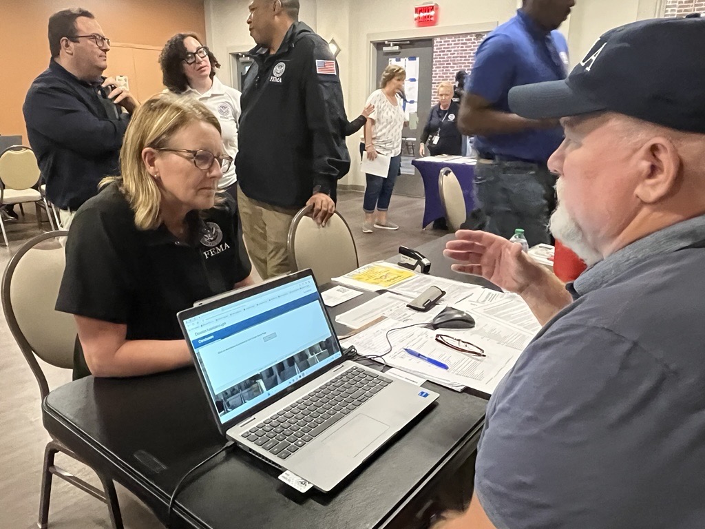
ALT FEMA Administrator at FEMA disaster recovery center in Georgia

ALT FEMA Administrator at FEMA disaster recovery center in Georgia

ALT FEMA Administrator at FEMA disaster recovery center in Georgia

ALT FEMA Associate Administrators, Justin Knighten and Michael George, alongside U.S. Small Business Administration Associate Administrator, Han Nguyen, visiting the SBA Business Recovery Center

ALT FEMA Associate Administrators, Justin Knighten and Michael George, alongside U.S. Small Business Administration Associate Administrator, Han Nguyen, visiting the SBA Business Recovery Center

ALT FEMA Associate Administrators, Justin Knighten and Michael George, alongside U.S. Small Business Administration Associate Administrator, Han Nguyen, visiting the SBA Business Recovery Center. Group picture.

ALT Two people looking at each other at a FEMA disaster recovery center

ALT A group of people at a community comfort station in Asheville, NC

ALT Two people talking to each other at a community comfort center in Asheville, NC

ALT FEMA Administrator speaking behind a podium at a press conference for Hurricane Helene. A group of people standing behind her.


