

Storm Chasers | "Weather Stuff" | Dixie Alley | Owned & Operated by @WXManCam / @Carter_WXEMA
USA
Joined January 2019
- Tweets2.6K
- Following97
- Followers746
- Likes1.1K
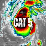





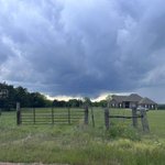


#BerylHurricane is now a category 5 hurricane - superseding Hurricane Emily (7/16/2005) as the earliest category 5 hurricane. #wxtwitter


Despite our name we do not hope for an EF5 to ever happen, these tornadoes bring devastating impacts that change and end lives. If you are wishing for one to happen you need to seriously reconsider what your priorities in weather are. -CB
EF-5 Network retweeted

Couple of time lapses of the severe warned storm as it moved across the reservoir this evening with a lightning capture as well. #MSwx – at Ridgeland, MS

EF-5 Network retweeted
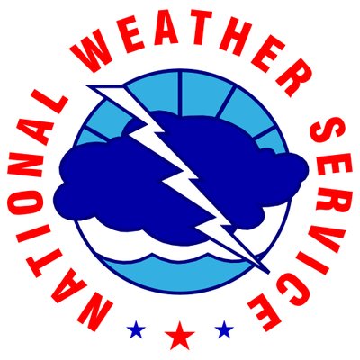
A tornado watch has been issued for parts of Alabama, Louisiana and Mississippi until 9 PM CST

ALT This graphic displays Tornado Watch watch number 32 plotted on a map. The watch is in effect until 9:00 PM CST. The watch includes parts of Alabama, Louisiana and Mississippi. The threats associated with this watch are a couple tornadoes possible, scattered hail up to two inch size possible and scattered gusts up to 70 mph possible. There are 4,500,670 people in the watch along with 1406 schools and 184 hospitals.
EF-5 Network retweeted
Areas south of Jackson in MS during the day today is a great time to review your tornado safe plan and check your supplies. Very fast moving storms overnight will limit your ability to react if you are not prepared. Have more than one way to wake you up in case of a warning – at Pearl, MS


EF-5 Network retweeted
Time change means I get to see the sunset on the way into work. @ashleysivikwx @NWSJacksonMS – at Pearl, MS

The fall severe weather season is just around the corner. This upcoming week is a good time to review your plans, check emergency supplies, and change those weather radio batteries./CB

October 2nd through 7th is Fall Severe Weather Preparedness Week.
Follow @msema and @NWSJacksonMS as we highlight different hazards and ways to prepare for the upcoming severe weather season every day next week.
For more information, click here: msema.org/governor-reeves-de…
EF-5 Network retweeted
3 years ago, the @EF5Hunters were getting ready for an eyewall punch of Hurricane Laura just north of Lake Charles at this time – at Ridgeland, MS


EF-5 Network retweeted

Flash flooding is occurring in Starkville, MS. Please use cause while driving and do not drive on flooded roads! @NWSJacksonMS @NWSMemphis @NWSFlashFlood @WCBIWEATHER @WTVAWeather – at Starkville, MS
Proud of @CarterBentley57 and his continued dedication to MWN. Plenty of experience to be had from this as carter begins his meteorology career

And with that, @CarterBentley57 has sent his #LastTweet for MWN...
We're grateful for his time with us and his service to the Mid-South this semester! He has already graduated from #HailState and has a bright future ahead of him! All the best CB! /EP
3
270
EF-5 Network retweeted
First wedge intercept. This is the same tornado that went through Matador, TX. Images from the @newschannel6now Storm Tracker just east of Guthrie, TX. #TXwx

