

I am where I am. Deep Creek, Clackamas, Willamette, and Columbia Rivers. Cartographer, geospatial explorer, grounded in history, forward-focused.
Portland
Joined October 2012
- Tweets777
- Following274
- Followers391
- Likes1.7K





matthew.hampton retweeted
Over 40 years ago, designer Peter Saville crafted the album cover for Joy Division’s Unknown Pleasures, lifting the image verbatim from a science book depicting the very first reading of a pulsar from 1967, CP 1919
[read more: ow.ly/8mQW30q6CCr]
matthew.hampton retweeted

The beautiful cartography of Eduard Imhof created for a Swiss middle school atlas - "Schweizerischer Mittelschulatlas herausgegeben von der Konferenz der kantonalen Erziehungsdirektoren. Fünfzehnte Auflage, 1969."
davidrumsey.com/luna/servlet…


matthew.hampton retweeted
In this 2017 marketing stunt, Michael Guerra shows how adopting this definitely unconventional position may result is an efficient aerodynamics vs the other cyclists
This is the physics behind it: buff.ly/338WcmN
[video: buff.ly/3k9gWqE]
matthew.hampton retweeted

A family poses in front of a 1,341 year old Sequoia tree nicknamed "Mark Twain" that was felled in 1892 after a team of two men spent 13 days sawing it in the Pacific Northwest. The giant tree was 331 feet tall (100 meters).

matthew.hampton retweeted

Just for fun: Using extruded contours to show noise complaint density in PDX ¯\_(ツ)_/¯


matthew.hampton retweeted

We recognize that many of our visitors go to other public lands sites. However, we will no longer allow them to visit any @NatlParkService, @forestservice, @ORStateParks, or @WAStatePks lands.
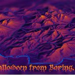
Inspired by a post I didn't read by @John_M_Nelson, I wanted to wish you a Happy Halloween from Boring, Oregon just east of #Portland. The @EduardShading was given an inverted Inferno tint from Matplotlib in #ArcGISPro to catch the SE-facing lava domes. @BoringMaps #3d #esri

Inspired by @CSVerdel and @mappingbernie and @stefanvdwalt I added a little color and perspective to my favorite mountain range in Montana. It's a Big Snowy Inferno!

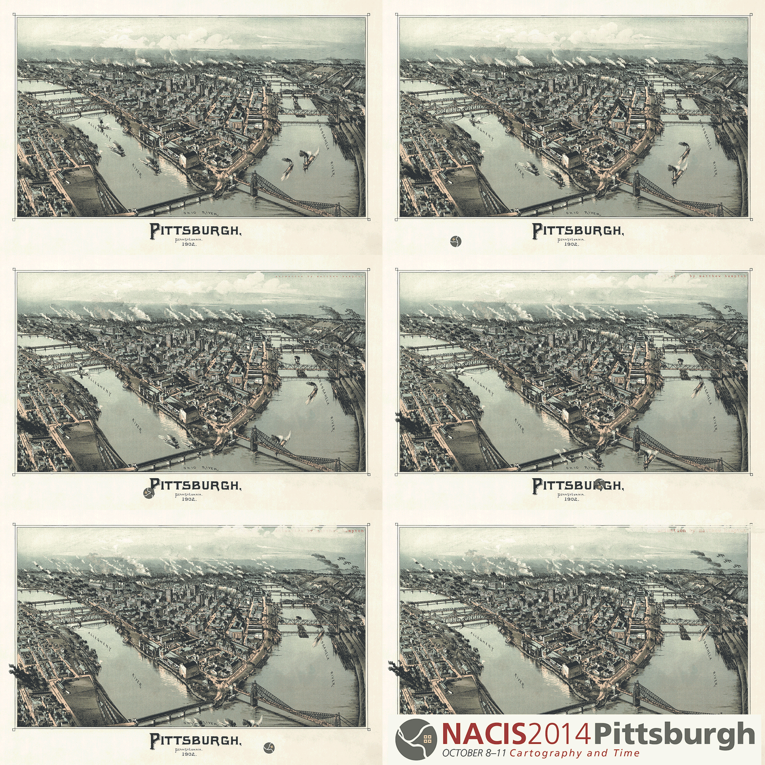
Returning from #NACIS2022 filled with enthusiasm from being around so many talented cartographers. Excited for next year's conference in Pittsburgh, where I first animated an historic panoramic map using #aftereffects in 2014. nacis.org/wp-content/uploads…
Saw @mappingbernie present eduard.earth at #NACIS22 and I couldn't wait to check out the Big Snowy's and Knife Blade Ridge. This software is amazing. Thank you!


matthew.hampton retweeted
There are 12 black dots at intersections in this image. Your brain won’t let you see them all at once. Here's why [read more: bit.ly/2qxnuj5]

#parahawking from Torrey Pines with an old buddy from HS is a great way to start the @EsriUC! #Totalraptorexperience, #lannerfalcon

matthew.hampton retweeted

📢 Attention all map makers!!
We are excited to formally announce our 2022 conference!!
The meeting will be held Oct. 19–22 in downtown Minneapolis. Visit nacis.org/2022 to submit an abstract, apply for a travel grant, and book your hotel room. #nacis2022

matthew.hampton retweeted

Proxemic maps for immersive visualization
50 free copies: tandfonline.com/eprint/2BGSE…

matthew.hampton retweeted

Check out some of the regional active transportation projects cities in the Portland area are asking @oregonmetro to help fund in 2025-2027:
bikeportland.org/2022/03/21/…
Portland’s Biketown e-bike rental program expands service into North, east Portland neighborhoods oregonlive.com/commuting/202…


matthew.hampton retweeted

And we showed the world that we are Soccer City, USA. #RCTID