

|18| Christian | weather enthusiast from St. Louis | 🌪=1 | Owner of @NextGenWeather #gopackgo #geebirg
St. Louis
Joined June 2023
- Tweets15.4K
- Following638
- Followers1.5K
- Likes9.7K


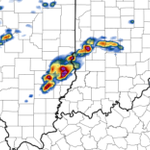
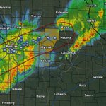

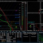


Intriguing cell near Electra, TX. Definitely worth watching, though nothing seems particularly imminent.

2
206


Not a huge fan of the 10# tornado risk today. The Tropical Jet is outrunning the polar jet (our main forcing mechanism) and eats most of the instability, and most of the possibly tornadic convection along the front looks pretty linear.
Also finally got Aguacero, its a beast.

1
18
1,337
Decent tornado risk for tomorrow across southern Indiana. Hinges pretty significantly on where and how much morning convection we get. If the morning convection stays farther north, the tornado risk would expand and perhaps be higher.


13
487


18Z HRRR showing a decent signal for tornadic potential in Southern KS, in our 2% as of last SPC outlook, from about 5-9pm tomorrow. We actually have 300 SRH area-wide, but the primary limiter at the moment is an inversion right along the boundary (where ingredients overlap)


2
1
310


IsaacWx retweeted

If a white boy invites you to storm chase, that’s a sign of great respect in their culture
Run it back

Elevated threat of tornadoes detected for Sunday, June 21st, 2026.
See attached map for details.
This forecast initialized on Tuesday morning. Follow for future forecast updates.

ALT StormNet-v4 tornado probability map with a 41% maximum 12-hour risk from 2026-06-21 18Z to 2026-06-22 06Z. Model initialized 2026-06-16 12Z at forecast hour 138.
1
9
850
Top 10 most contaminated soundings of all time

Unsurprisingly, loaded gun sounding with extreme kinematics near the warm front in central IL with 00 HRRR. Subtle capping as well that will help keep a discrete model for a few hours. Quite the helicity tracks as well for long-lived tornadic supercells.

13
1,164
Pick your marginal risk
12:51am CDT #SPC Day1 Outlook Marginal Risk: today through tonight across parts of the northern Great Plains into Midwest and near the Gulf Coast spc.noaa.gov/products/outloo…

1
6
791